December 30, 2017
Nestled off of Table Rock Road on the east side of the Gorge is an easy, short hike to a tremendous vista. The Hawksbill Mountain Trail is only .65 miles and it is very stable, wide, level path until it reaches Jonas Ridge Trail. At that juncture, you take a left and it is .4 miles steeply uphill to the summit of Hawksbill Mountain.
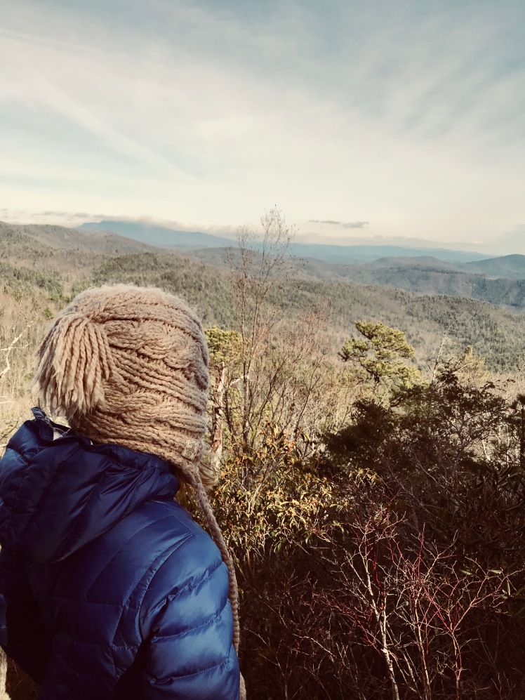
It’s frigid in Boone, NC this week and with highs in the upper 20’s, Ramona and I ventured to this hike on an otherwise beautiful day.
I love taking the girls into the backcountry. The Gorge is a good destination because there are a plethora of short, difficult hikes. For the first .65 miles we took our time, inspecting little caves formed by the rocks, icicles frozen upon overhangs and moss covering the forest floor.
The last bit of the hike was not overly tough, but even Ramona, part mountain goat, took her time stepping up over the stones that littered the pathway.
The summit was tremendous; gorgeous, 360 degree views of the surrounding area, a special vantage point of Table Rock and Shortoff, and ancient pine trees seemingly growing from the rocks. The best part was to watch Ramona’s gaze at the vista, to see a young hiker reveling in the grandeur of nature.
Descending the summit, we ran into a group of trail workers from Wild South. Amongst them, the director, Kevin Massey and his wife Julie talked to us at length, and were very informative about the Gorge. Of note, he told me about a free, online map that showed not only the marked trails, but the unmarked ones. When you download it to your phone, you can put your cell on airplane mode on the trail and the app will pinpoint your location on the Gorge map. You can download the app and map here:
http://www.lgmaps.org/?page_id=2726
GPS link: https://www.movescount.com/moves/move192661695
Total mileage is 2.29 miles.


I’ve heard fantastic things about Hawksbill mountain, and the pictures you posted do not disappoint! I’m glad you all had a great hike and thanks for the tip on the app 🙂
LikeLiked by 1 person
Thank you! It’s a tremendous place. The Gorge on a whole is a wondrous gem. Also, your blog looks fantastic!
LikeLike
Really loving your blog man! Can’t wait to do this hike.
LikeLiked by 1 person
Hawksbill Mountain, very scenic views, nice photos. Must have been chilly up top! Brrr
LikeLiked by 1 person
Yes Sir!! Today is the first day in 9 days with temps above freezing.
LikeLiked by 1 person